Choosing the perfect bug out location isn’t just about finding a remote cabin in the woods. It’s about strategically analyzing threats, terrain, accessibility, and sustainability — all through the lens of real data. In 2025, with risks rising and resources tightening, your location could determine whether you survive… or struggle.
In this guide, we’ll show you how to use risk maps, local intelligence, and critical criteria to pick the safest place to bug out — before it’s too late.
Why Choosing the Right Bug Out Location Is Crucial
Having a bug out bag is vital. But if you don’t know where you’re going, you’re just a refugee with gear.
“Preppers who don’t pre-select a destination are evacuees. Not survivors.” — Crisis Resilience Research Group, 2024
Whether you’re bugging out due to civil unrest, nuclear threat, or a natural disaster, the wrong location could expose you to:
- Looters and refugees
- Floods, fires, or radiation zones
- Strategic military routes
- Resource scarcity
- Surveillance or checkpoints
That’s why your bug out location must be data-informed, remote enough to avoid conflict, and resourced enough to sustain life.
1. What Makes a Location “Bug Out-Ready”?
Let’s clarify: not every cabin or forest qualifies as a survival location. Your bug out location must balance seclusion with sustainability.
✅ Minimum Criteria:
- Distance: 50–200 km from your home (beyond urban panic zones)
- Water source: stream, spring, lake, or well
- Concealment: forest cover, elevation, minimal visibility
- Access routes: multiple ways in/out (including by foot)
- Natural resources: wood, game, wild edibles
- Defensibility: not visible from road, no direct access trail
💡 Bonus if:
- It’s south-facing (for warmth/sunlight)
- Has some existing structure or shelter potential
- Located off-grid but not unreachable
2. How to Use Risk Maps to Select a Location
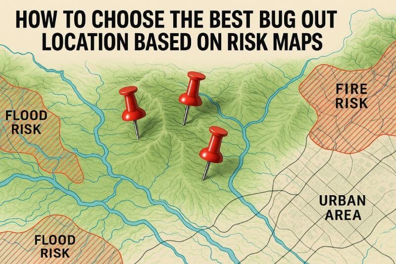
In 2025, there’s no excuse to choose blindly. Online risk maps help you assess everything from crime and flood zones to nuclear fallout paths and urban sprawl.
🌍 Best Risk Map Sources:
| Map Type | Tools & Resources |
|---|---|
| Nuclear Fallout Zones | NUKEMAP, FEMA’s Radiological Emergency Zones |
| Flood & Fire Risk | FEMA Flood Map, CalFire |
| Population Density | U.S. Census Maps, WorldPop |
| Conflict/Unrest Zones | ACLED, GlobalSecurity.org |
| Resource Scarcity | USDA Drought Monitor, Local Agricultural Maps |
📍 Use overlays from Google Earth Pro or Scribble Maps to combine multiple risk layers.
🧠 Pro tip: Always download your final maps offline for printing. Don’t rely on the cloud.
3. Urban vs. Rural: What’s Safe, What’s Not?
Bugging out doesn’t always mean running to the mountains. But escaping urban chaos must be part of your strategy.
📊 Risk Profile by Environment:
| Location Type | Risk Profile | Pros | Cons |
|---|---|---|---|
| Inner-city | Extreme (riots, looting, police lockdowns) | Resource-rich | High population, surveillance |
| Suburbs | Moderate-High | Road access, some resources | Grid-reliant, fast saturation |
| Farmland (rural) | Low-Mid | Edible resources, space | May be targeted by looters |
| Forest/Mountains | Low | Concealment, firewood, game | Isolation, weather exposure |
| Desert/Wilderness | Varies | Seclusion | Harsh climate, water scarcity |
🔍 Look for low population density buffers: areas 10–25 km from any major road or populated zone.
4. Essential Features to Look for in a Bug Out Property
Whether it’s land you buy, lease, or cache on, these features can make or break your survival:
🏞️ Natural Features:
- Fresh water source (flowing > stagnant)
- South or east-facing slope (for solar gain)
- Tree cover (camouflage + fuel)
- Natural elevation (for flood protection + visibility)
- Flat area (for shelter, farming, animals)
🔐 Strategic Benefits:
- No direct line of sight from public roads
- Dead-end or unmarked access trails
- Multiple exit routes nearby
- Natural barriers (ravine, river, dense forest)
🧱 If there’s a structure: verify it’s insulated, dry, lockable, and has wood heat potential.
5. How to Secure and Prepare Your Bug Out Location
Even the best bug out location needs prep work and smart upgrades. You don’t want to arrive in a crisis and realize it’s overgrown, exposed, or missing essentials.
🧰 Actions to Take in Advance:
- Camouflage the entrance (natural foliage, no visible trail markers)
- Clear brush around potential shelter zone (fire prevention)
- Create cache sites (buried or hidden gear in waterproof containers)
- Build fire pits or rocket stoves with local stone
- Test water sources for contamination
- Mark exit routes with discreet symbols or carvings
“A bug out location is a backup home — treat it like one, not just a campsite.” — Homesteading for Crisis, 2023
🔒 Security Measures to Consider:
- Simple perimeter tripwires or cans on string
- Hidden trail cams (solar-powered)
- Decoy paths or fake structures
- Concealed defensive positions (if applicable)
- Dead drops or buried caches (rotated annually)
✅ Store copies of maps, basic meds, and a self-contained food pack in a lockbox or weatherproof container near shelter zone.
6. Top Mistakes to Avoid When Choosing a Bug Out Location
Even experienced preppers make poor choices based on fantasy, not function. Avoid these:
❌ Common Pitfalls:
- Too far away (you can’t reach it under pressure)
- Too remote (no access to help or supplies)
- Private land you don’t own or lease
- Area with recent wildfires, floods, or known instability
- No access to water year-round
- Dependent on fuel to reach it
💡 Golden rule: If you haven’t been there in every season, you don’t know your bug out location.
7. Smart Caching: Spread and Hide Essential Supplies
A true bug out location doesn’t require you to carry everything in. You pre-position essentials.
📦 What to Cache:
- Food (freeze-dried, cans, vacuum-sealed)
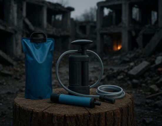
- Water or filtration
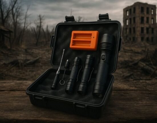
- Fire tools (ferro rods, lighters, fuel tabs)
- First aid supplies
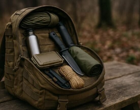
- Tools (folding saw, hatchet, multitool)
- Clothing and shoes
- Map copies + written emergency contacts
🪖 How to Cache:
- Use PVC pipe, sealed ammo cans, or Pelican-style waterproof boxes
- Bury 2–3 feet deep in dry areas (away from roots or streams)
- Mark with natural landmark + GPS (offline copy)
- Protect with Mylar, desiccants, and odor blockers
📍 Cache at least one halfway between home and your final bug out spot — this may save your life if you’re delayed or rerouted.
8. Regional Examples: Best Bug Out Locations by Terrain
Every country and region has its own profile of threats, geography, and options.
🇺🇸 U.S. (examples by region):
- Pacific Northwest: Mountain forest zones, high rainfall, great concealment — but watch wildfire maps.
- Southwest: Desert zones offer remoteness, but demand water prep and sun protection.
- Appalachians: Excellent terrain, access to game and timber, but more populated than they appear.
- Midwest: Flat farmland has resources, but less concealment and more exposure to weather.
- Northeast: Harder to find truly remote zones, but dense forest still available in Maine, NH, NY.
🇪🇺 Europe (example zones):
- Central France, Eastern Poland, Scandinavian forests, Scottish Highlands — all offer mix of space, water, low population density.
🔍 Use Google Earth, Gaia GPS, and Topo maps to pre-scout, then visit before committing.
9. Printable Bug Out Location Checklist
| Criteria | ✅ Check When Met |
|---|---|
| 50+ km from major cities | |
| Accessible by multiple routes | |
| Fresh water source nearby | |
| Sheltered or defensible terrain | |
| Not visible from road | |
| Year-round access | |
| Pre-scouted in all seasons | |
| Cache or storage present | |
| Not on private land (unless owned/leased) | |
| Communication signal (optional) |
📄 Print two copies — keep one in your home binder, one in your bug out bag.
10. Scenario: Choosing a Bug Out Location in a Real Crisis
Let’s walk through a realistic bug out scenario using risk maps and everything we’ve covered.
⚠️ Scenario: Political Riots and Regional Blackouts
You live in a major metro area. Civil unrest spreads nationally after fuel rationing is announced. In 48 hours, your city has experienced:
- Internet and phone disruptions
- Panic-buying and fuel lines
- Curfews and checkpoint rumors
You activate your bug out strategy.
📍 Planning the Location:
You’ve pre-scouted three options on your maps:
- Forest retreat: 85 km away, near a lake, cached food and fire tools
- Friend’s property: 40 km away, semi-rural, but near a protest-prone town
- Public land area: 120 km, unpatrolled but exposed
You choose location #1: best water source, elevation, and low-risk profile.
🔍 Confirmed on FEMA flood maps and heat maps: no active fire zones, low population.
You take route B (secondary), avoid freeways, and reach the bug out spot in 6 hours with no contact needed. On arrival, the cached gear is intact, the spring is flowing, and you begin setting up perimeter alerts.
🧠 This shows how preparation + maps + practice = strategic survival.
FAQ: Bug Out Location
How far should my bug out location be from home?
Ideally, your bug out location should be located between 50 and 200 kilometers from your primary residence. Why?
- Less than 50 km: You may not escape the urban panic zone, surveillance perimeter, or supply chain collapse radius.
- More than 200 km: Fuel, roadblocks, fatigue, and terrain changes increase the risk of failure, especially if traveling on foot.
The sweet spot is a location that’s accessible within one day using alternative transportation (vehicle, bike, or even on foot), yet far enough to avoid mass population movement, looting, or martial law zones.
🧠 Tip: Run a timed simulation using your secondary route. Can you reach it without GPS, with 50% fuel, and while avoiding main roads?
Should I buy land for a bug out location?
Owning your bug out property is ideal — but not essential.
Ownership = control. It allows you to:
- Legally build or modify structures
- Store long-term supplies and tools
- Defend or fortify the location if needed
- Access it anytime without legal risk
That said, land purchase isn’t realistic for everyone. Viable alternatives include:
- Leasing rural land under a long-term agreement
- Timeshare prepper retreats (check local networks)
- Trusted friends or family with rural property
- Remote public land you’ve scouted and cached (requires stealth, no permanence)
🧠 Warning: Never assume access to private or government land during crisis unless previously arranged. Trespassing becomes riskier during lawless periods.
What if I can’t afford a rural property?
You’re not alone. Start by leveraging free tools and creative strategy:
- Use risk maps to identify low-density, low-risk zones within 1–2 hours of travel.
- Explore state or national forests, wilderness corridors, or public conservation areas. Many allow off-grid camping with restrictions.
- Build a hidden cache of essentials (water, food, fire tools) in those areas using weatherproof containers.
- Practice low-impact survival (leave no trace, blend in, no permanent structures).
Additionally, network with like-minded preppers. Often, small groups share access to remote locations or organize community retreats.
🧠 Key idea: Your bug out location doesn’t have to be perfect — just better than the chaos you’re leaving behind.
Do I need to visit my bug out location regularly?
Yes — and it’s one of the most neglected prepper habits.
Your bug out location must be tested, adjusted, and observed through all seasons, for several reasons:
- Weather conditions may drastically affect access (mud, snow, washed-out trails)
- Vegetation growth can block or reveal access points
- Human activity (new cabins, hunters, trespassers) may change the threat profile
- Water levels can rise, dry up, or become contaminated
- Caches can degrade, be discovered, or become inaccessible
🧠 Pro tip: Visit at least twice a year. Keep notes, take photos, and update your maps after each visit. If possible, spend 24–48 hours there and simulate a true bug out overnight stay.

